|
scenic rim
wander
off the
beaten track
by Rob Sanderson
|

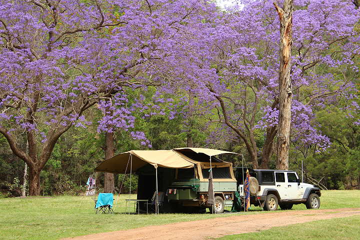
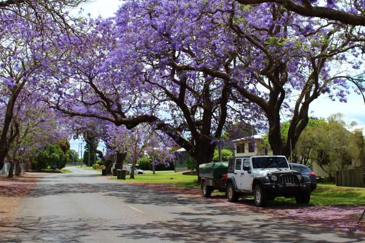
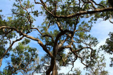
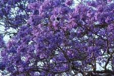
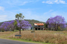
flowering jacarandas at Heifer Creek
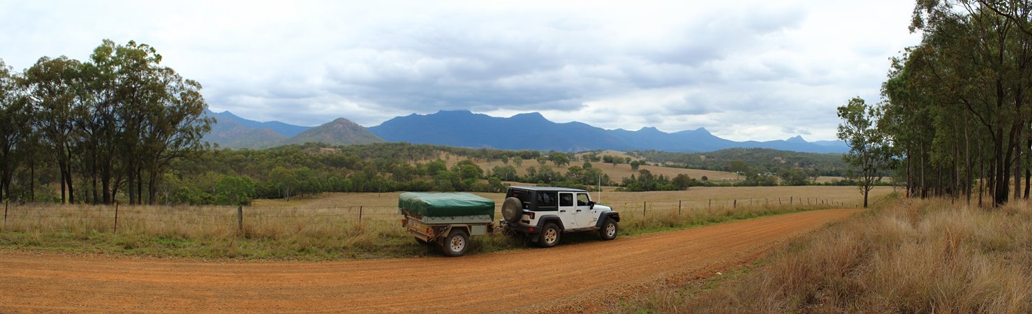
We love wandering with our Jeep Wrangler & camper trailer, mainly down the back roads & 4wd tracks, not knowing where we will
be camping each night, but with a general idea of the direction we are
ultimately travelling in. Before leaving home research is done for possible
routes using paper maps, digital maps on the computer as well as internet
sources like Google Earth, Where is etc.
Campsites are considered using WikiCamps, which I have
downloaded onto my computer, the Camps Australia Wide book & other
publications & web sources. Many years of collecting national parks & state
forest information handouts as well as the handy Cartoscope touring maps,
show places of interest & are a great asset to pre-trip planning. Best of
all you cannot go past helpful local knowledge to find those out of the way
campsites or the personal knowledge of those who have gone before.
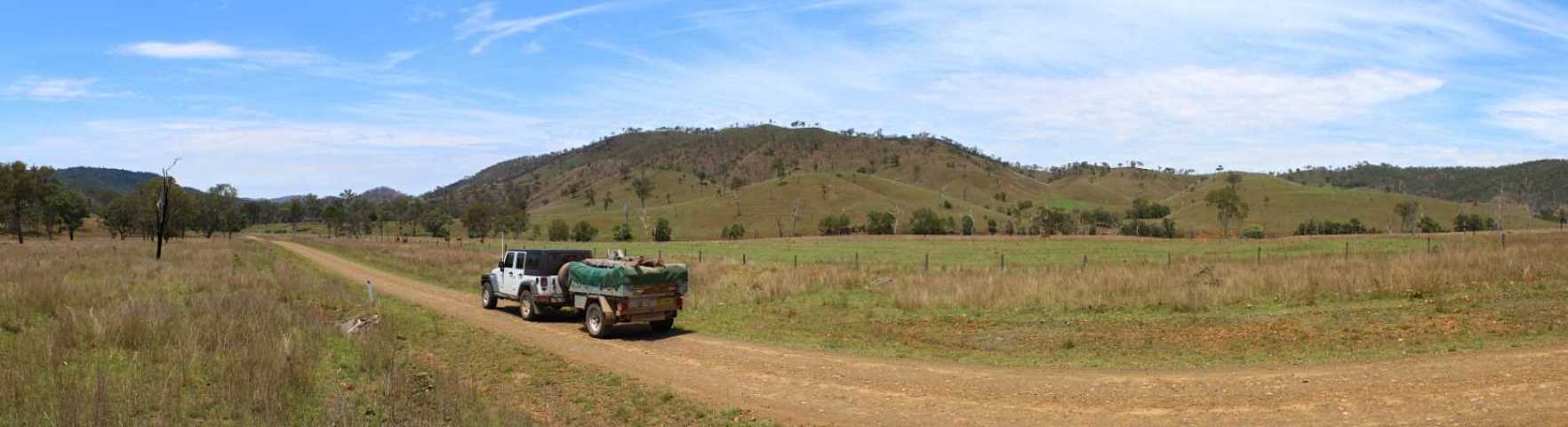
onto the back roads
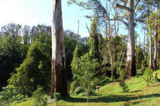
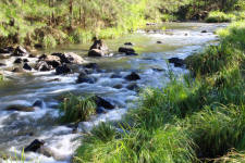
We drove up the coast from Newcastle & finally got off the
highway at Coffs Harbour onto the Orara Way, a quieter back road that runs
parallel to the busy Pacific Highway, where we stay overnight at the
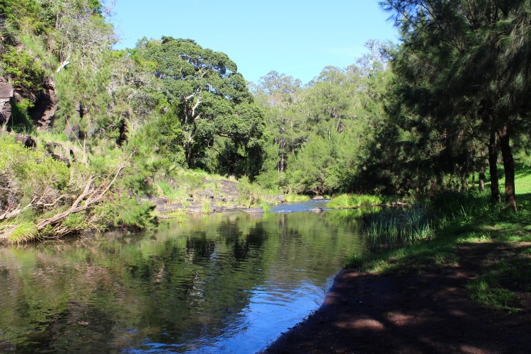
Recreation Reserve in Glenreagh. Shannon
Park next to the Orara River is one of our favourite cuppa stops when we are
passing through.
|
|
 |
 |
 |
|
Glenreagh showground
|
Orara
River at Shannon Park |
flooded
gums |
| |
|
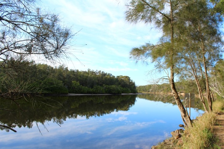
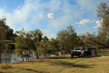
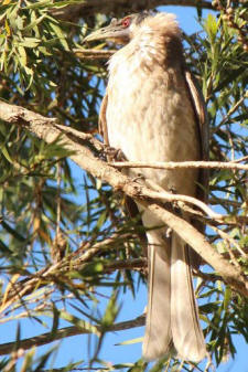
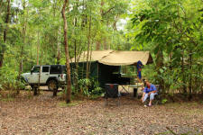
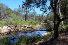
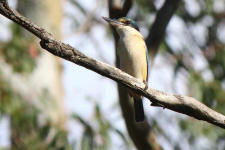
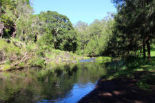
We continue along the Orara Way to Grafton & head to Copmanhurst
where our trip really begins, following
the Clarence River up to the Queensland border mostly along the Clarence
Way but with a few deviations. The majority of camping here is on private property so local knowledge
is the best source. We spend a couple of days in two different camps for a
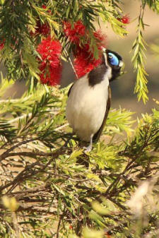
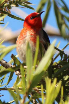
change of scenery, entertained by the various honey eating birds feeding on
the flowers of the weeping bottle brush that line the river banks. |
|
 |
 |
 |
| Clarence
River camp |
still
morning on the Clarence |
low level
bridge |
|
 |
 |
 |
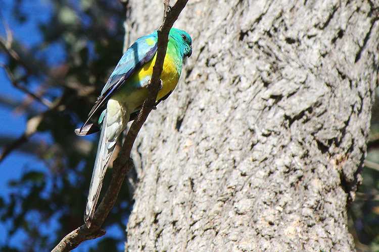
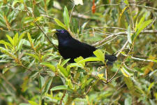
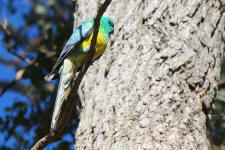
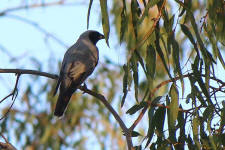
| friar bird |
blue-face
honeyeater |
scarlet
honeyeater |
| |
|
We hit the Bruxner Highway & headed to
Tabulam & top up the fuel tank. We had planned on taking the
dirt road though the Richmond Range National Park, however the
dry weather only road had a sticky surface after a few days of
rain, so we turned around & back tracked a kilometre or two to
the Urbenville road getting onto the dirt just before Bonalbo.
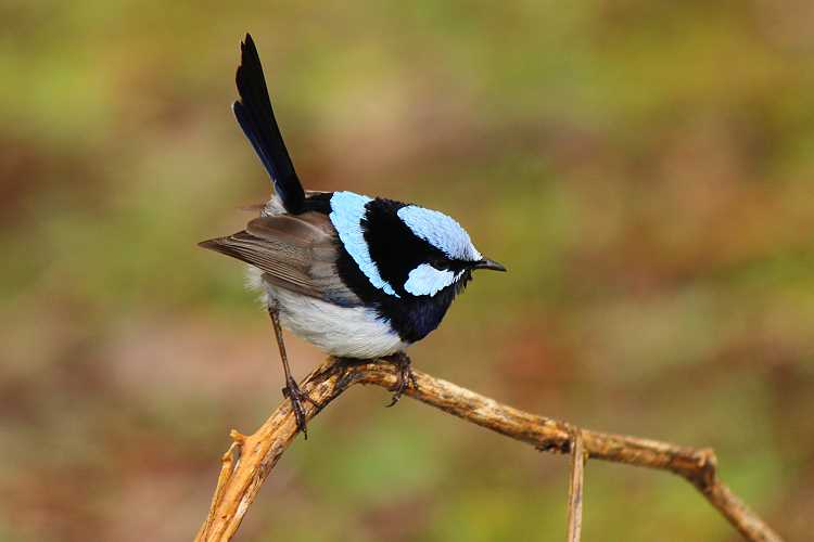
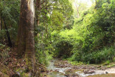
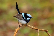
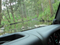
It was a nice drive through the rainforest with a couple
of steep creek crossings to Peacock Creek camping area in the Richmond Range
National Park. There was plenty of bird life around as we had lunch, but decided to
keep going to the next camp.
|
|
 |
 |
 |
| rainforest
creek |
blue wren |
satin
bowerbird |
| |
|
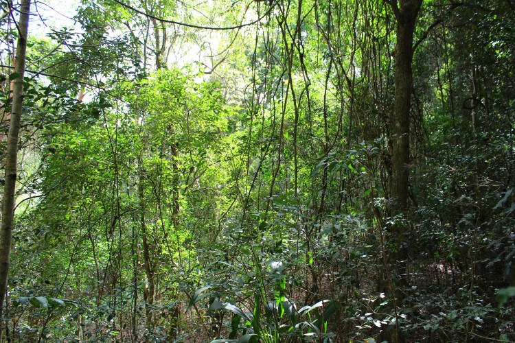
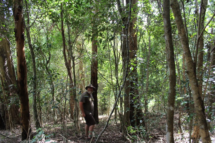
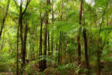
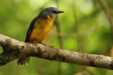
We travelled along bush tracks past Toonumbar Dam to Iron
Pot Creek camping area in Toonumbar National Park. The camping area is not very camper
trailer friendly with each campsite surrounded by bollards, however we
managed to set up the camper trailer in a wider parking bay, still allowing
any traffic to drive past. The whole camping area is enveloped in rainforest
with native ginger as the prominent understorey plant. It is on the list for
a return visit.
|
 |
 |
 |
| plenty of
room, but not for camper |
rainforest
|
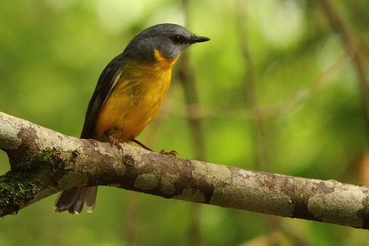
eastern robin |
| |
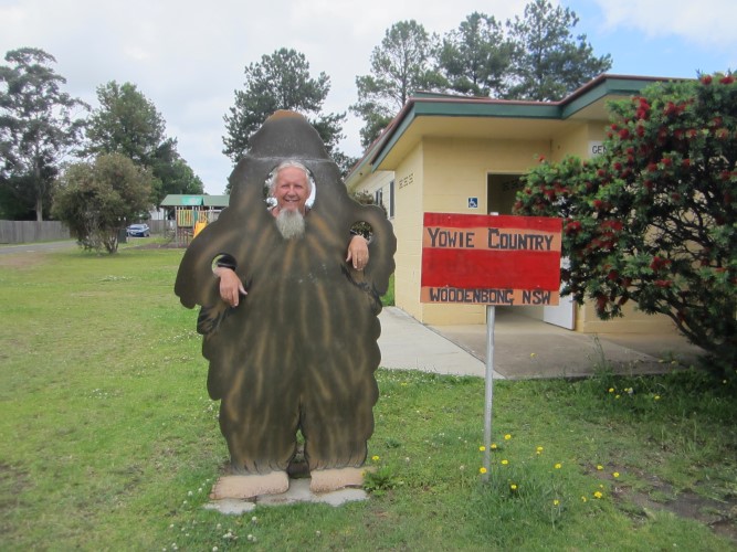
Our intended route had a road closed sign & locked gate owing to a
land slip, so it was a longer round trip to Woodenbong via Kyogle
with morning tea in the park.
We were lucky enough to get a
glimpse of a yowie in Woodenbong. It was a smelly creature & looked very scary, so we did not
approach. Imagine coming across that in the dark.
An opportunity to get fresh bread & milk.
|
 |
| |
|
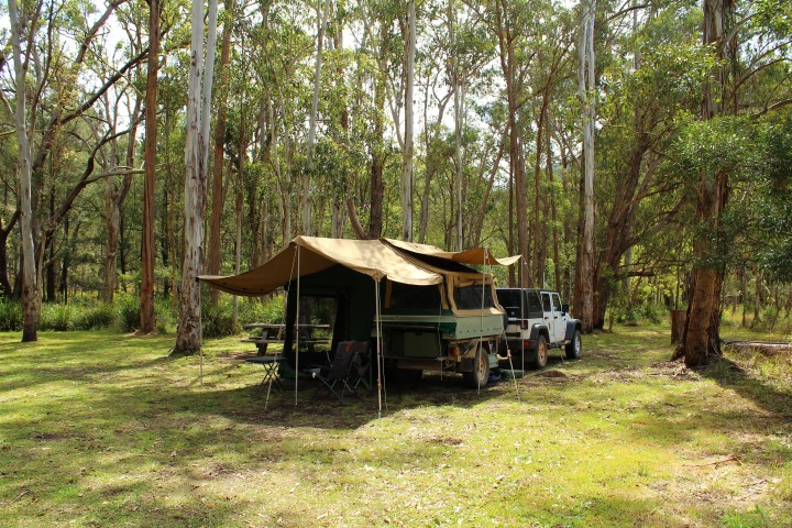
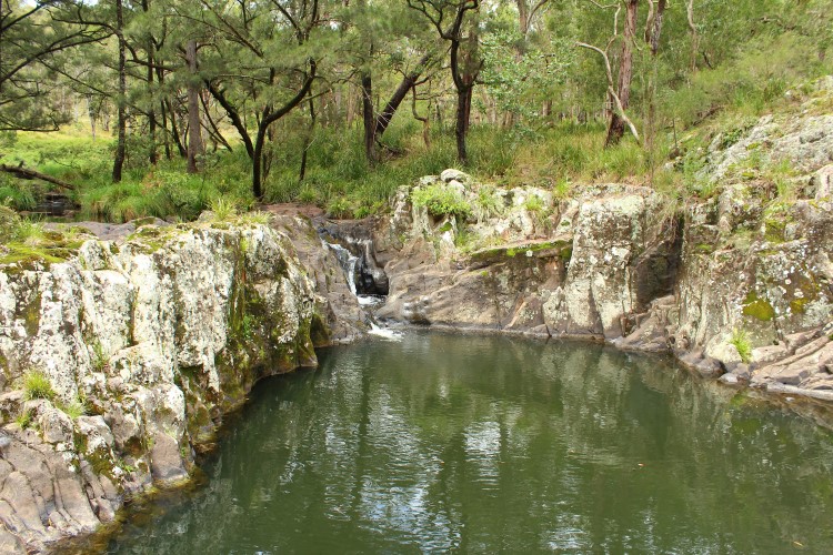
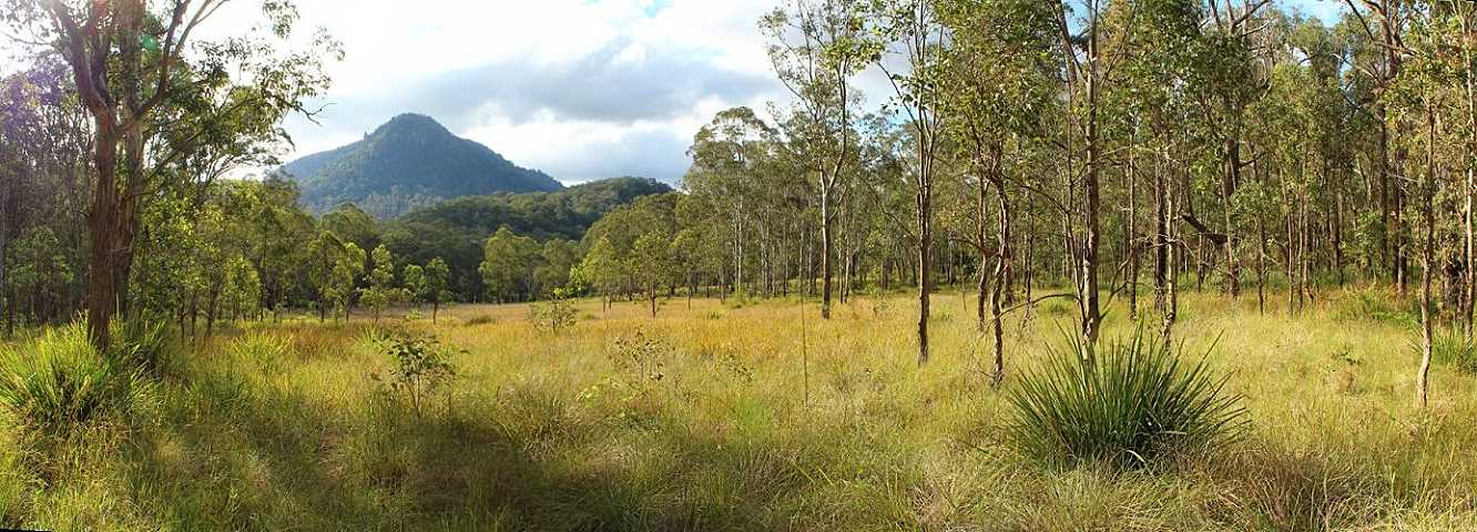
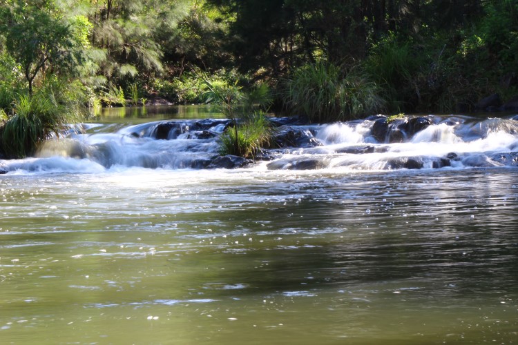
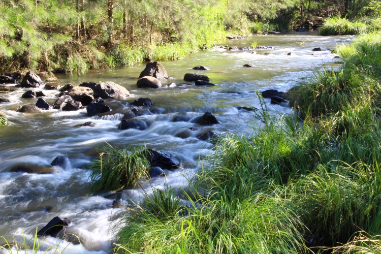
Continuing west along the Mount Lindsay Highway we turned
off at Old Loreelah for Koreelah National Park. There are several large open
grassy sites with plenty of trees for shade in summer. Not far from camp
there is a walking trail to a waterfall & a good looking
swimming hole. |
|
 |
 |
 |
| spacious
campsites |
broad-leafed apple |
waterfall |
|
 |
 |
|
Barney Bluff |
late
afternoon walk |
| |
|
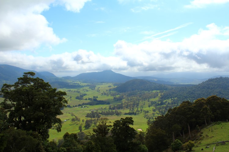
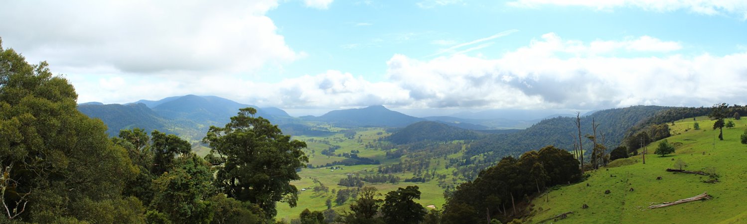
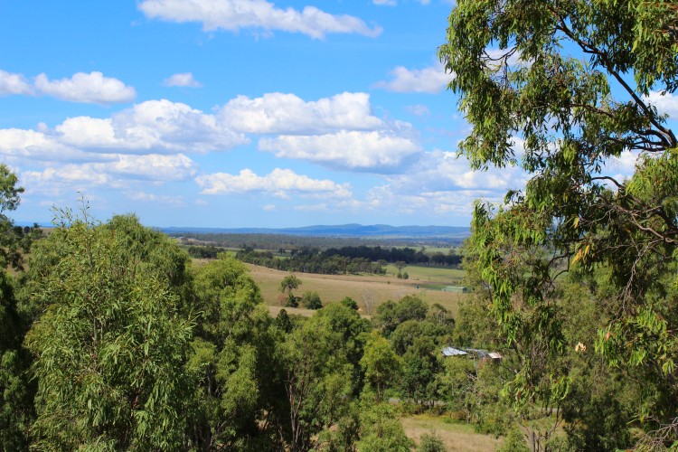
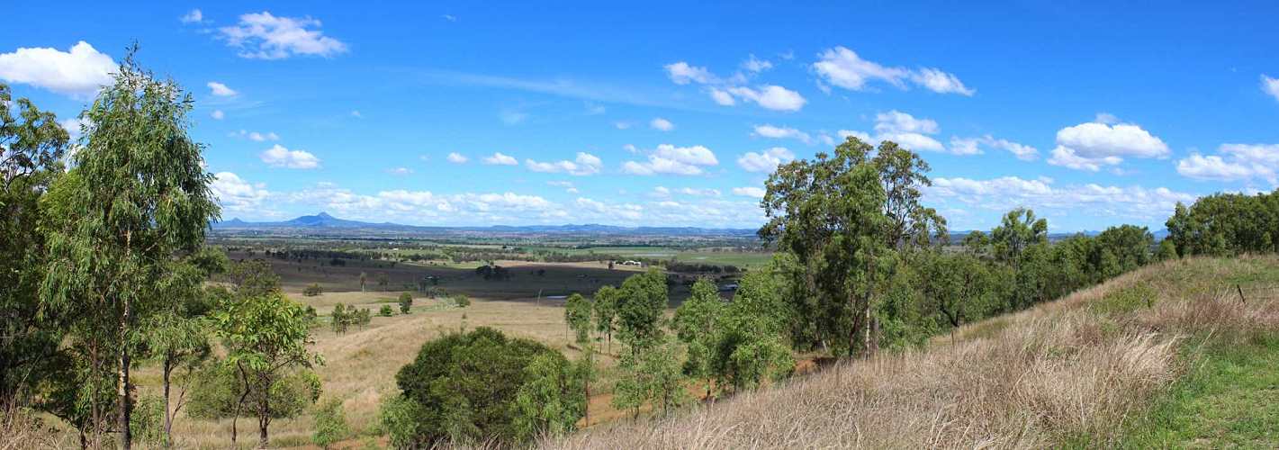
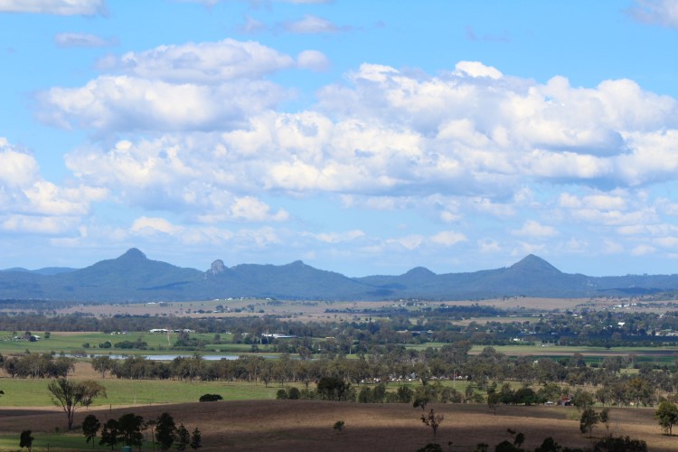
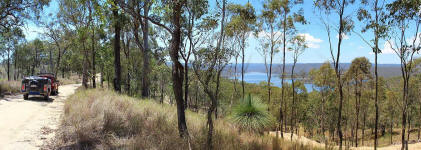
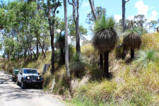
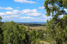
over the border
The next morning we drove up Head Gate Road &
through an old border gate into Queensland. There was a long
steep climb to a magnificent view at Carrs Lookout which looks out over the Condamine River
& the head of the Murray/Darling Basin.
|
|
 |
 |
| Wilsons
Peak |
Carrs
Lookout |
| |
|
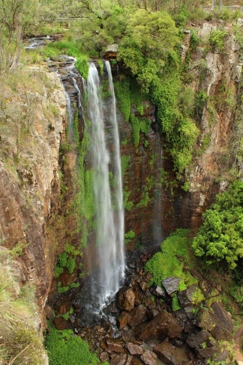
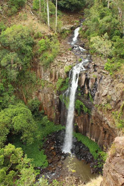
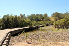
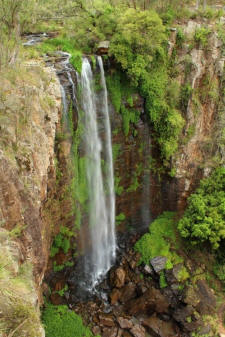
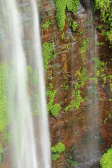
Not far down the road from the lookout is a short walk to the forty metre
high Queen Mary Falls. It would be great to see the falls after heavy rain. A little
further along the road is Daggs Falls which has a viewing platform built out
over the cliff face.
|
|
 |
 |
 |
| Queen Mary
Falls |
Queen Mary Falls |
Daggs
Falls |
| |
|
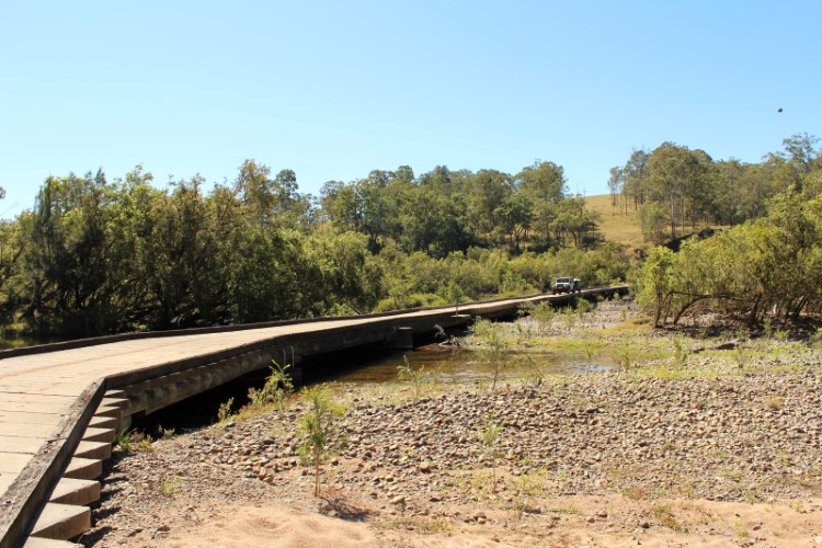
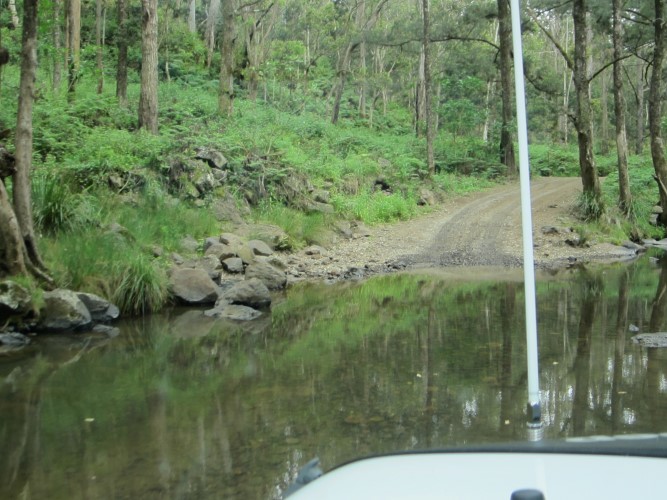
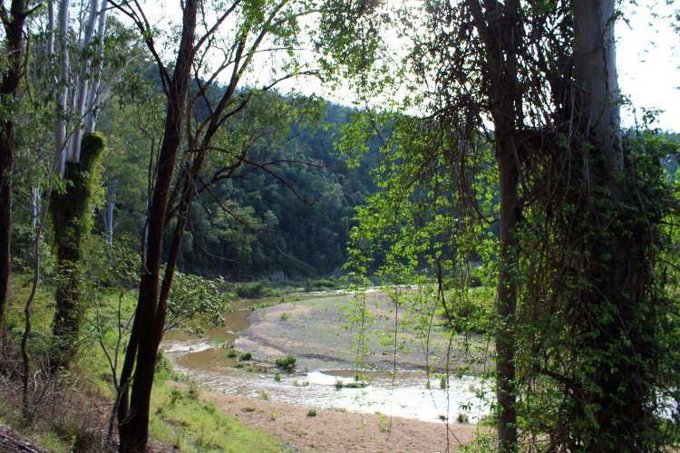
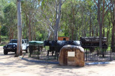
Just before Killarney we hit the dirt once again through
the Condamine River Gorge. It is part of the Bicentennial National Trail & has
fourteen unformed gravel creek crossings, the bottoms of which range from fine
gravel to larger rocks. The scenery in the narrow gorge is dramatic with
rugged rocky bluffs towering overhead & pockets of lush rainforest filling
the numerous side gullies. The gorge road is only open on weekends to public
traffic. |
|
 |
 |
 |
| river
crossing |
river
crossing |
look out
for cows |
| |
|
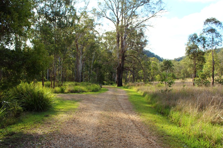
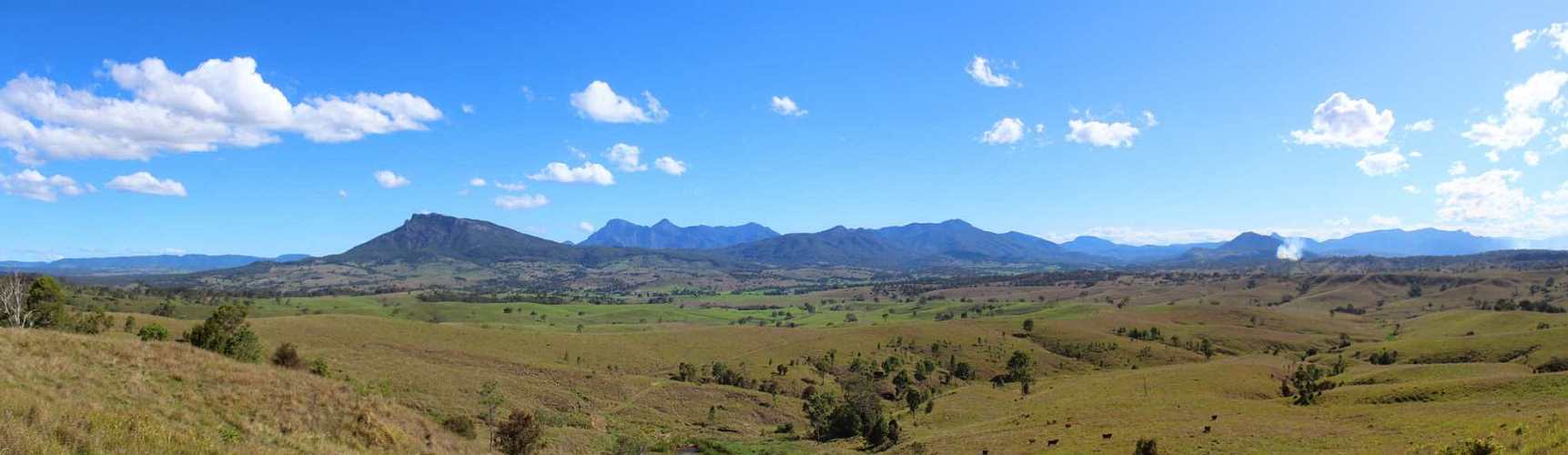
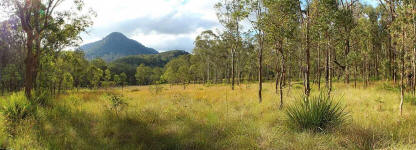
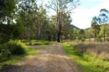
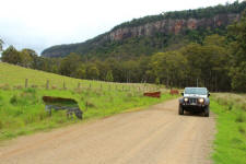
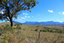
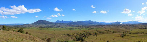
Keeping to the back roads we drove to the Main Range
National Park with an overnighter at Spicers Gap camping area. We could hear the trucks
labouring up through Cunninghams Gap some distance away.
|
|
 |
 |
| towards
Main Range |
Spicers
Gap |
| |
|
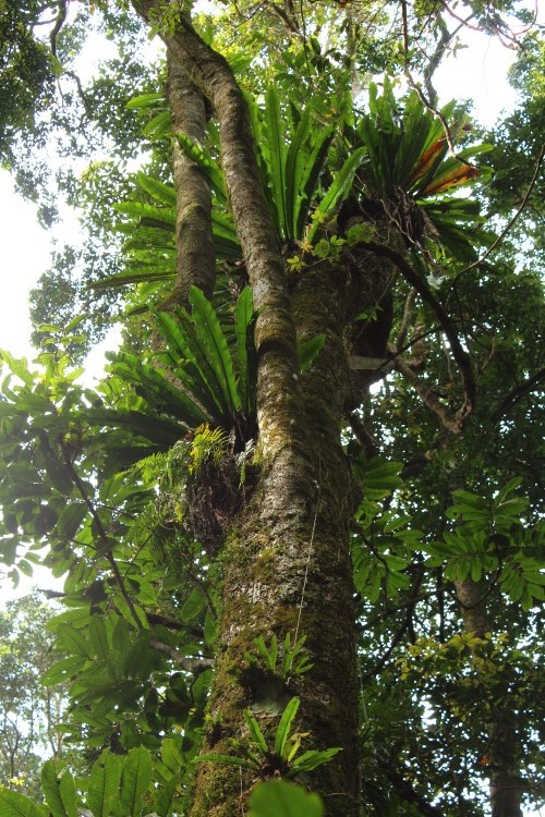
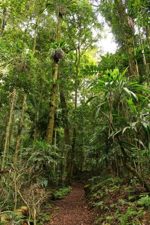
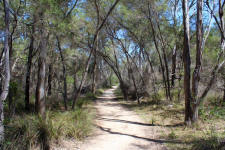
Next morning we drove to Cunninghams Gap & stopped for a
short rainforest walk in the national park. The trees were filled with
birdsnest ferns & staghorn ferns. A welcome morning tea was had after
the walk. |
|
 |
 |
 |
| birdsnest
ferns |
staghorn |
walking
trail |
| |
|
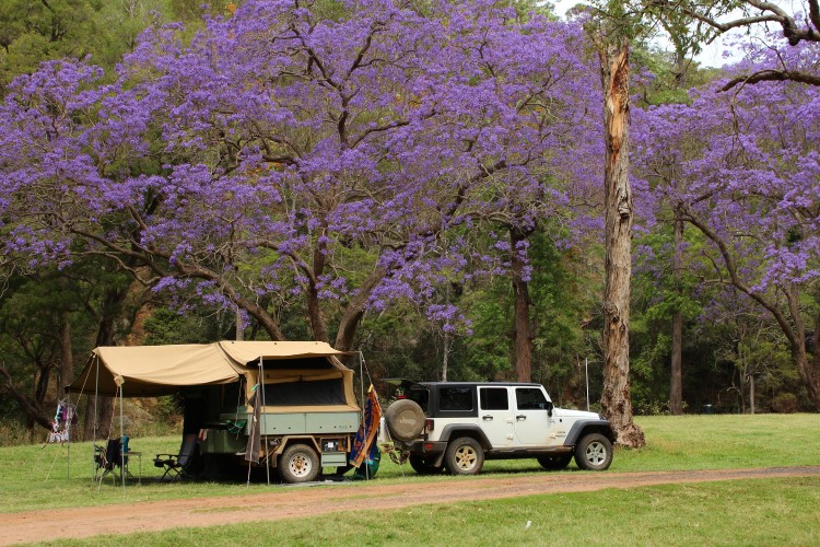
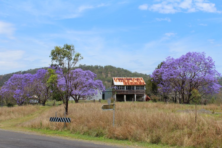
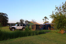
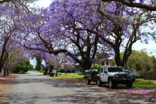
We exit the Cunningham Highway as soon as we can onto the
Goomburra road & then the Gatton-Clifton Road, staying at Heifer Creek on
Ma Ma Creek for the night. This would have to be the most colourful camping
area we have ever stayed at with both the Jacaranda & Silky Oaks in flower. |
|
 |
 |
 |
| Heifer
Creek |
jacaranda |
silky oak
& jacaranda |
| |
|
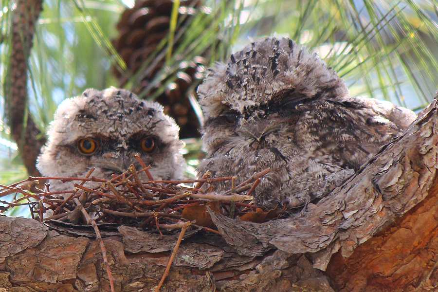
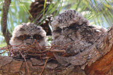
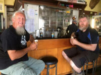
After a bit of grocery shopping in Gatton we met up with Matt &
Wendy where we have lunch at Helidon with a pair of Tawny Frogmouth
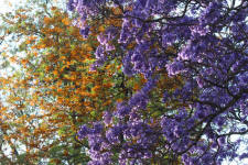
chicks looking down at us. The town looked fantastic filled with colour from
the flowering jacaranda trees.
|
|
 |
 |
 |
| shady park |
tawny
frogmouths |
colourful
streets |
| |
|
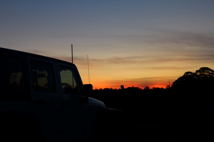
Once again we take to the back roads. By this stage the
drinking water tank needs to be refilled & clothes washing to be done, so we stay
the night in a caravan park at Crows Nest. There is a large grassy
non-powered camping area out the back. We cannot believe the number of
different birds around. In town we look at trading the Jeep up on a bullock
team. |
|
 |
 |
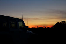 |
| bullock
team |
grassy
sites |
Jeep
sunset |
|
 |
 |
 |
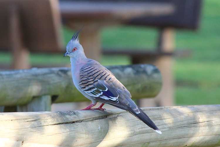
| crested
pigeon |
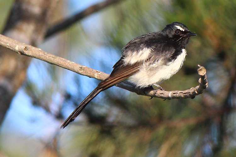
willie
wagtail |
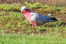
galah |
|
 |
 |
 |
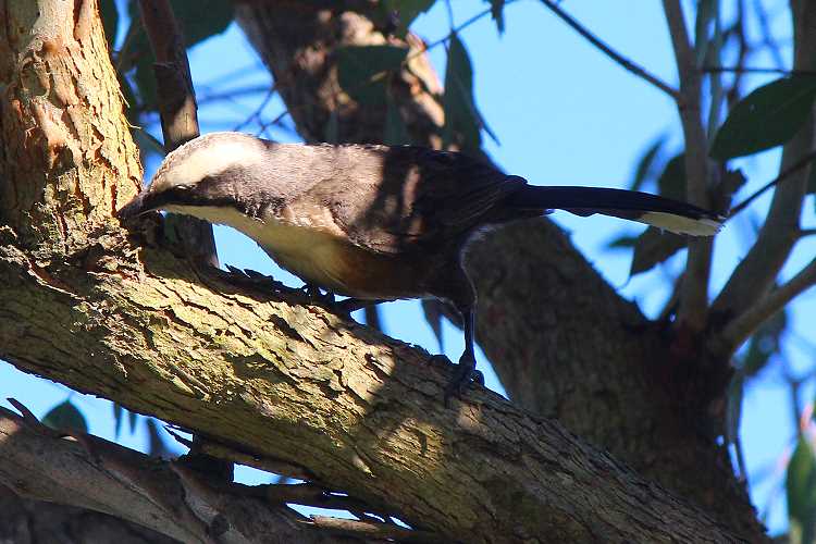
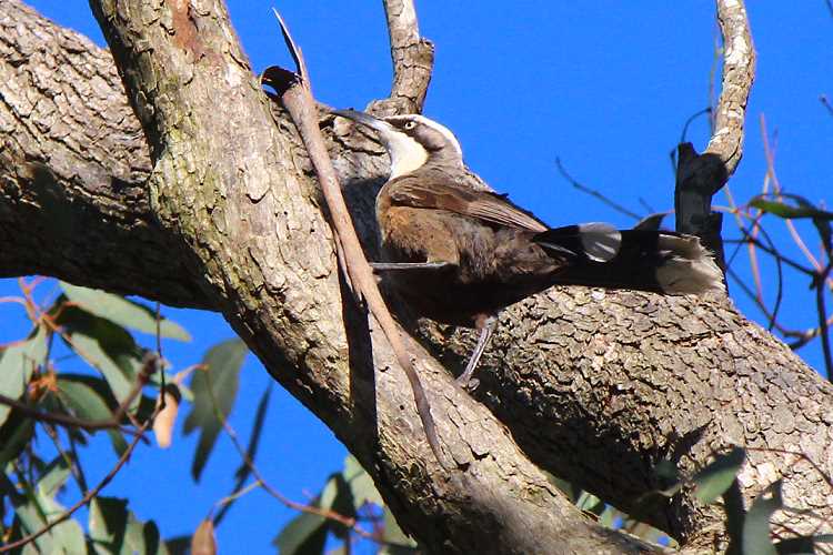
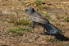
| red-rumped
parrot |
grey-crowned babbler |
grey-crowned babbler |
|
 |
 |
 |
|
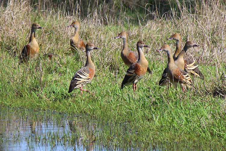
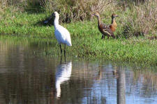
apostlebird |
plumed
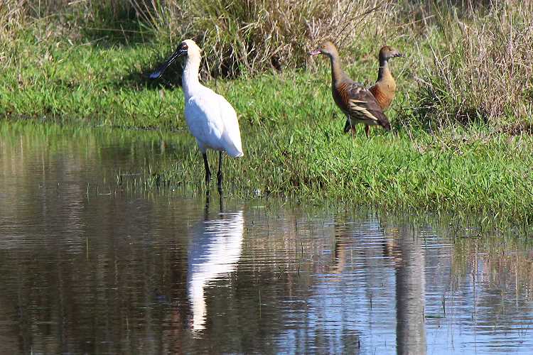
whistling-duck |
royal
spoonbill |
| |
|
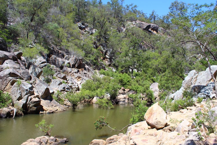
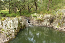
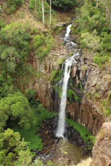
The next day we drive out to Crows Nest National Park &
do a short walk along Crows nest Creek to a waterfall. |
|
 |
 |
 |
| walking
trail |
crows nest
creek |
bottlebrush pool |
| |
|
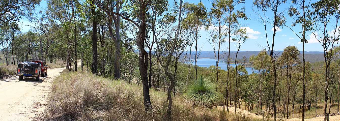
Continuing along the back roads we get a view of Lake
Cressbrook & drive past a stand of tall grasstrees, spending the night at
Cooyar.
|
|
 |
 |
| lake
cressbrook |
grasstrees |
| |
|
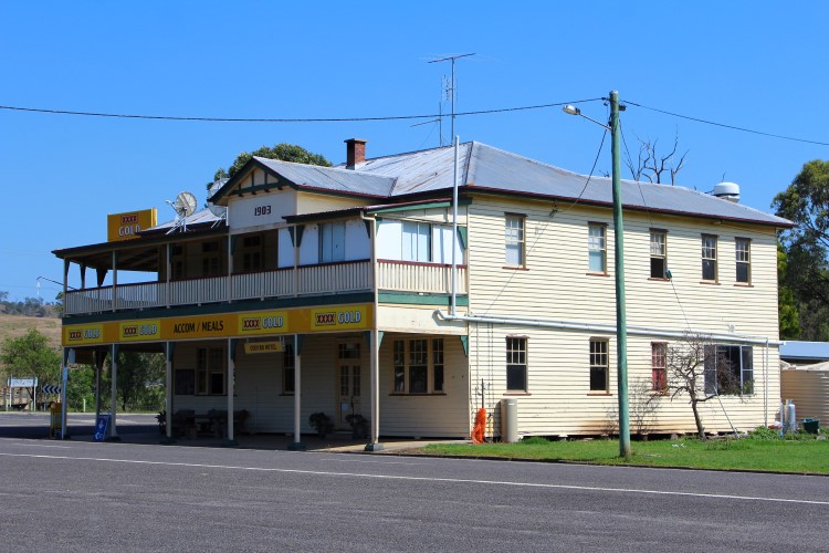
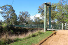
There is a free camping area in the spacious Swinging Bridge Park
at
Cooyar with large scattered trees for shade. The amenities are a short walk in the park
over in the next street. Even though the suspension bridge has
guide ropes it gets a good sway up walking across. Lucky the
pub is on the same side. |
|
 |
 |
 |
| swinging
bridge |
drovers
rest pub |
dollar
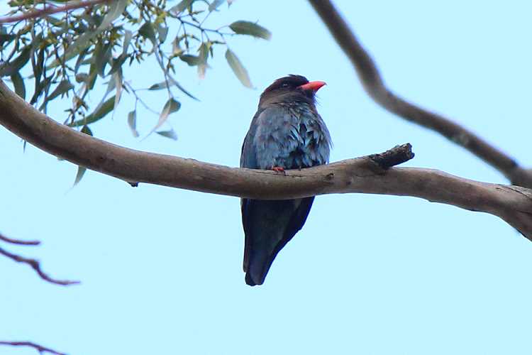
bird |
|
 |
 |
 |
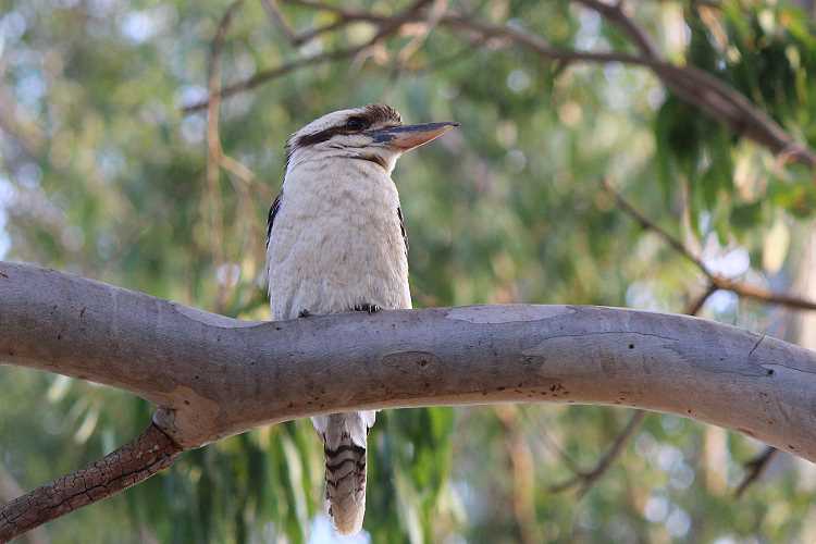
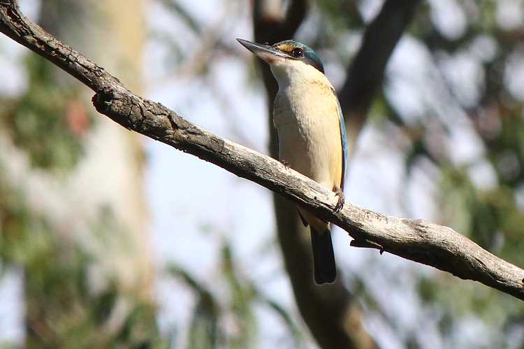
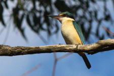
| forest
kingfisher |
kookaburra |
black-faced cuckoo-shrike |
|
 |
 |
 |
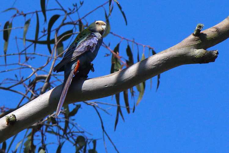
|
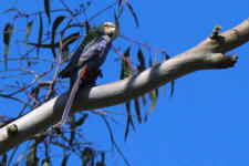
pale-headed rosella |
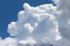
thunderstorm clouds |
forest kingfisher |
| |
|
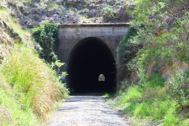
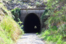
It took 100 men thirteen months to hand dig the Muntapa
Tunnel in 1913. The tunnel was built to support the development of small-scale
agriculture in the area and to provide Toowoomba & the Darling Downs with
access to timber reserves at Blackbutt & Nanango. It is the only tunnel in
Queensland that crosses the summit of the Great Dividing Range. The formed
concrete tunnel is 280 metre long with cuttings at each end. At the north
eastern end the cutting extends about 38 metres from the entrance, while at
the south western end it curves towards the south and extends about 150
metres. There are steel fences inside the tunnel to protect the colony of
bats.
The workers lived with their wives & families during the
tunnel construction. The remains of the camp can still be seen, including
the stumps of the school, stumps for flooring of tents & brickwork of the bakery.
|
|
 |
 |
 |
| rail
tunnel |
tent floor
stumps |
remains of
bakery |
|
|
|
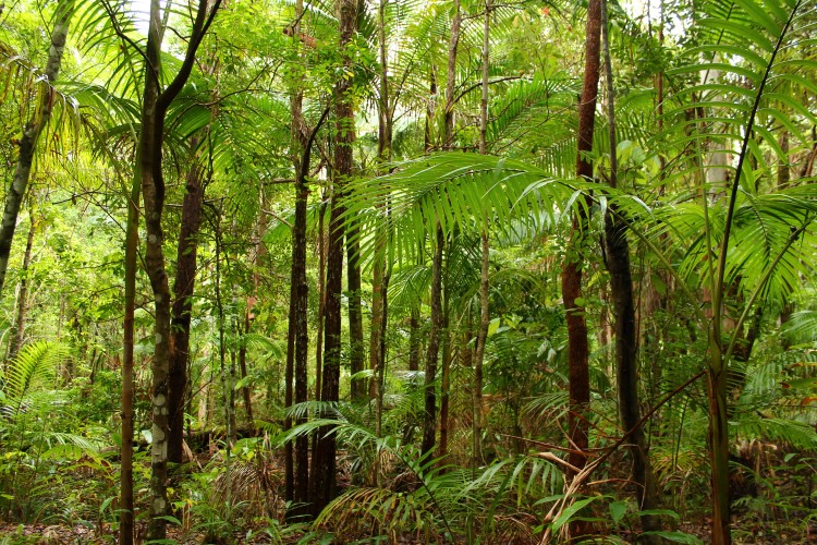
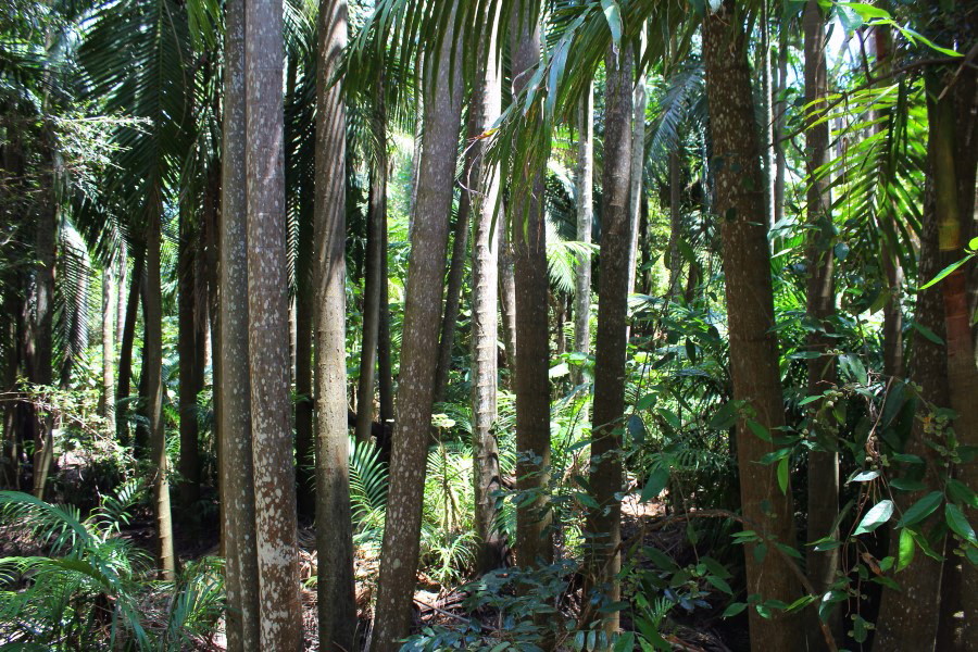
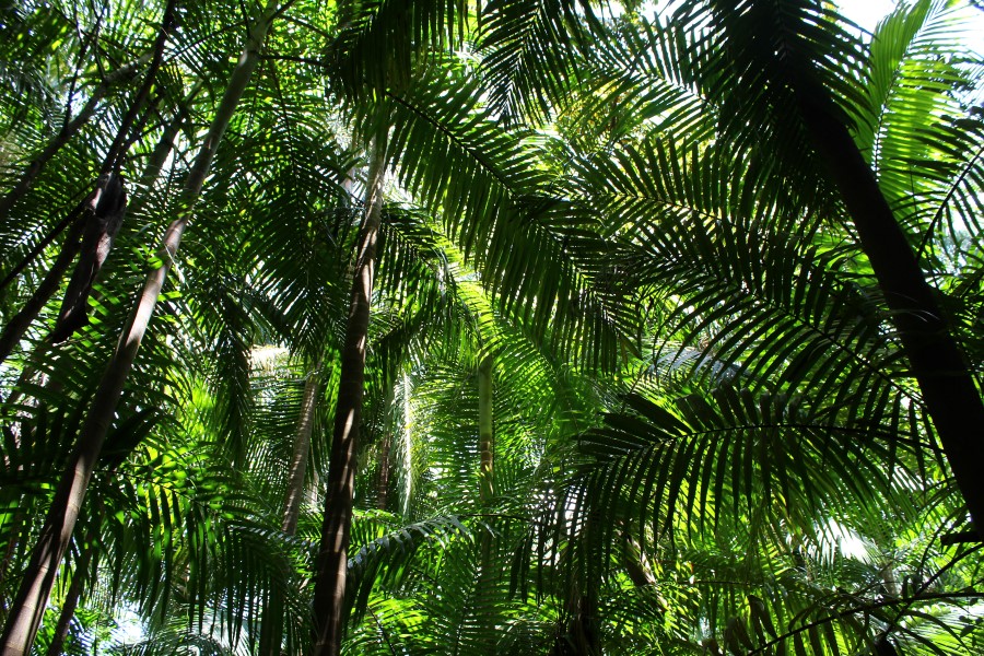
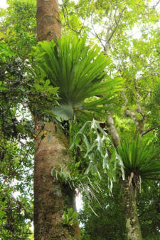
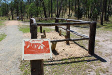
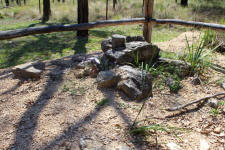
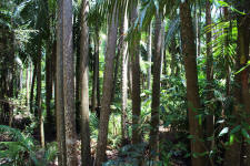
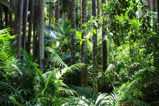
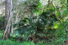
The Palms National Park is about ten kilometres from
Cooyar near Toowoomba Qld & comprises of two sections. The south western
section was created in 1950 from several blocks of land. In 1927 Charles
Boldery donated five acres of his 318 acre property to the Rosalie Shire
Council so the rainforest pocket would be protected & people could visit &
enjoy the natural beauty.
|
|
 |
 |
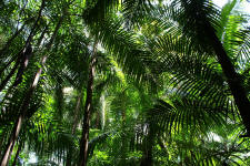 |
| picabeen
palms |
picabeen palms |
picabeen palms |
| |
|
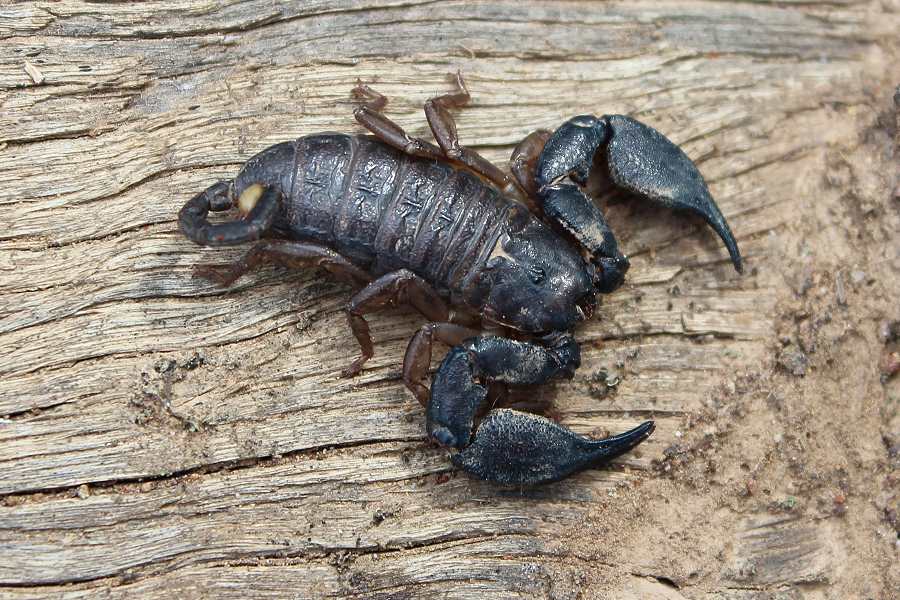
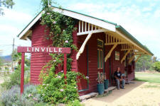
We followed the new England Highway to the end at
Yarraman & then veered north along the Burnett Highway to Nanango where we
spent the night in the free camp at the local park. Next morning we
continued on the back roads over the Brisbane Range & followed the Brisbane
River to Linville where we had a rest stop at the Linville pub.
|
|
 |
 |
| scorpion |
brisbane
river valley |
|
 |
 |
 |
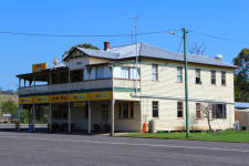
| glory days |
lemonade &
ice cream |
railway station |
| |
|
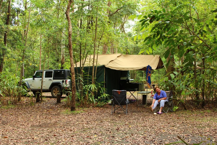
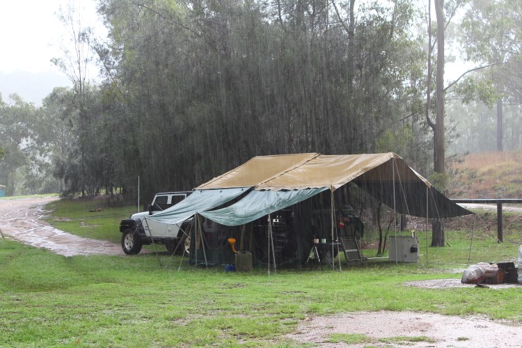
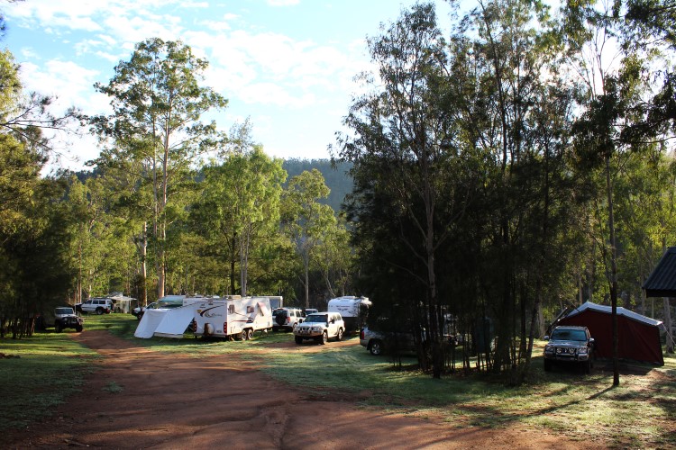
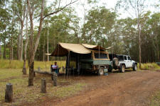
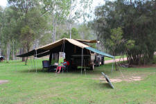
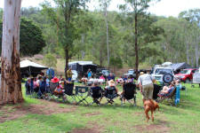
From Linville it was down to Clancys Creek camping area
in the Benarkin State Forest where the Australian CamperTrailers
'Remembering Neil' weekend was being held. Setting up in 35 degree heat was
no fun. We attached the awning walls supported by poles to provide extra
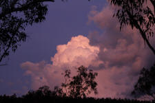
shade which also allows any cooling breeze to flow underneath. Afternoon thunderstorm
clouds began to develop & by late afternoon the heavens opened. Matt was
surprised to see his rain gauge showed 80mm of Queensland's liquid sunshine had fallen.
You can't trust mates with a good sense of humour.
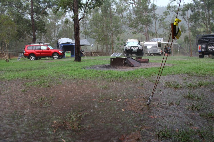
The next morning was fine & cooler after the rain. The
creek which had no water the previous day was now flowing. Afternoon happy
hour was held in honour of our mate Neil with clouds once again threatening the
evening.
|
|
 |
 |
 |
| shady camp |
threatening sky |
it rained |
|
 |
 |
 |
| & rained |
liquid
sunshine |
sunny
start |
|
 |
 |
 |
| flowing
creek |
happy hour |
might miss
us |
| |
|
the road home
We now start the return leg of our trip,
south again with Matt & Wendy and Lindsay &
Robyn, driving through Moore & stopping at Esk for supplies & lunch. We
continue down through Laidley, Rosewood & pause at Cunningham's Lookout near Warrill View.
|
|
 |
 |
 |
| nearly our
place |
travelling
companions |
cunninghams lookout |
|
 |
 |
|
cunninghams lookout |
border
ranges national park |
| |
|
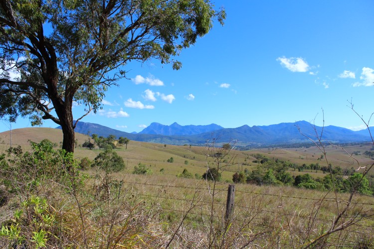
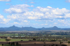
Down
the back roads to Boonah & Rathdowny with
breathtaking views of the Main Range National Park where we had camped only
a couple of weeks before. That part of our trip seemed like a long time ago now. |
|
 |
 |
|
main range national park |
| |
|
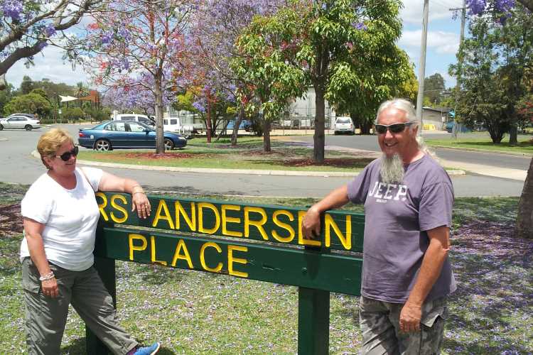
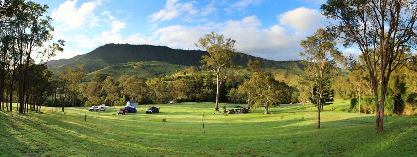
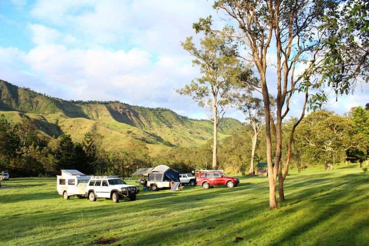
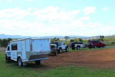
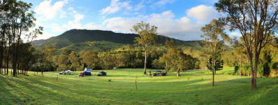
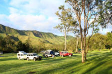
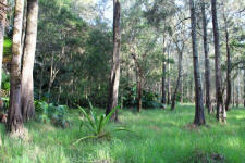
Finally arriving at Andrew Drynan Park on the Lions Road
near Kyogle for a couple of days to explore around the camping area.
|
|
 |
 |
|
Andrew Drynan Park |
morning stillness |
|
 |
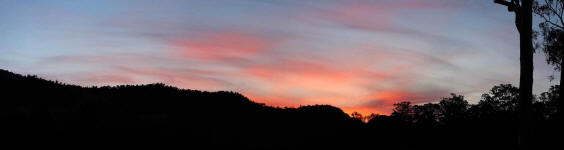 |
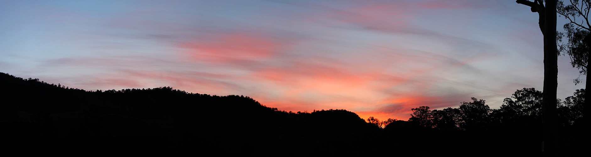
| morning
camp |
sunset glow |
|
 |
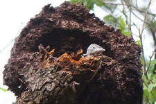 |
 |
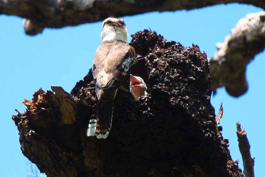
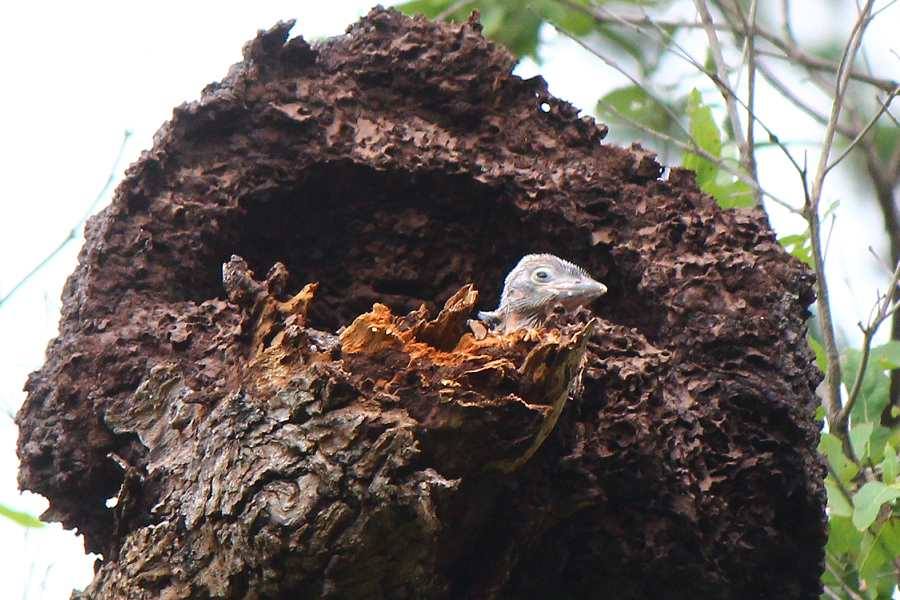
| kookaburra
feeding |
young
kookaburra |
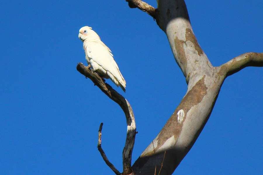
little
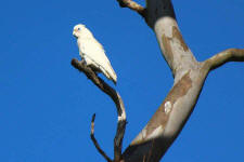
corella |
|
 |
 |
 |
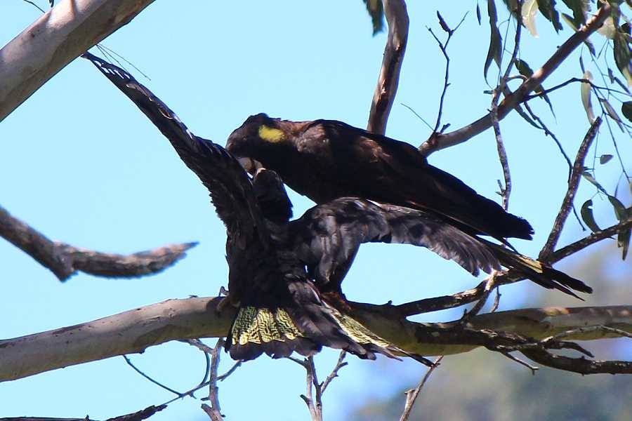
|
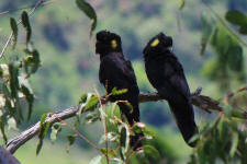
yellow-tailed black cockatoos |
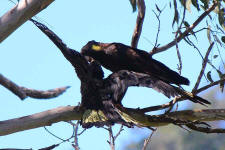
feeding
young |
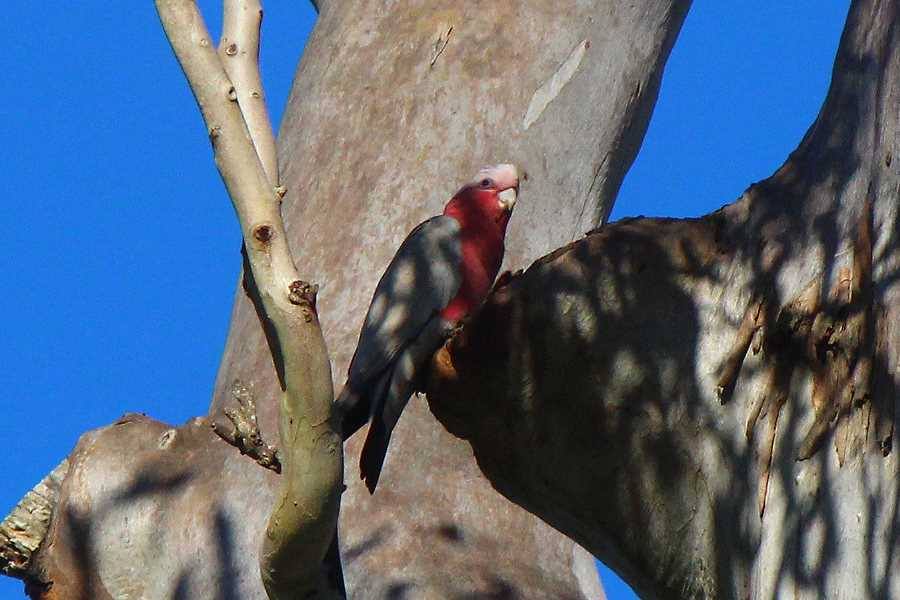
galah |
|
 |
 |
 |
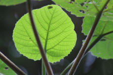
| rainforest
pocket |
stinging
tree |
rainforest pocket |
|
 |
 |
 |
| |
Running
Creek |
|
| |
|
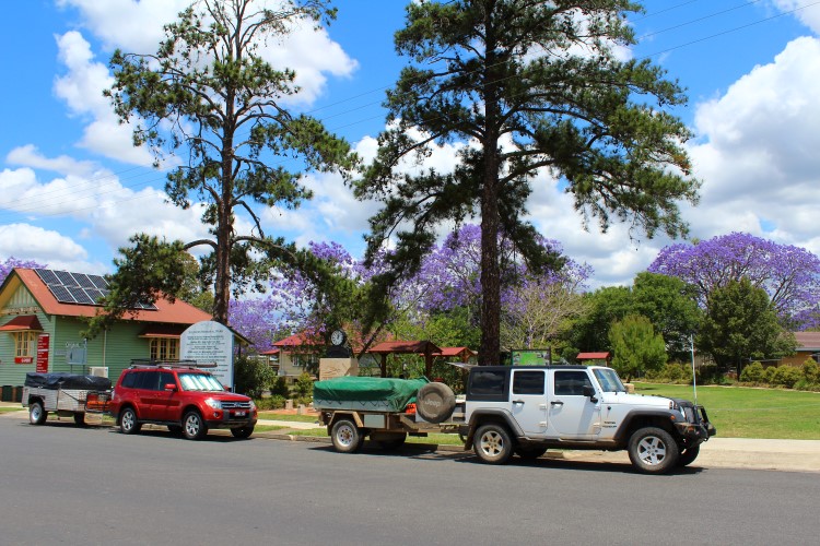
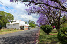
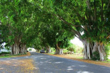
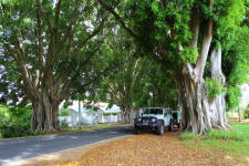
We say goodbye to our travelling companions & drove down to Grafton along the Summerland Way
where we end up getting a little lost
around the streets looking at the jacarandas in flower, but find
ourselves driving through a street lined with huge fig trees - a bonus.
|
|
 |
 |
 |
| jacaranda
trees |
fig trees |
fig trees |
| |
|
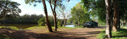
Back down the Orara Way to Coffs Harbour & an overnighter at
Gumma Reserve near Macksville, one of our favourite camps.
|
|
 |
 |
|
beside warrell creek in gumma reserve |
warrell creek |
|
 |
 |
 |
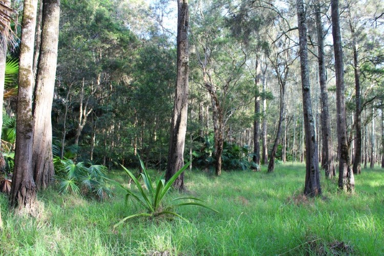
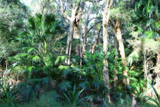
| cabbage
tree palms |
paperbark forest |
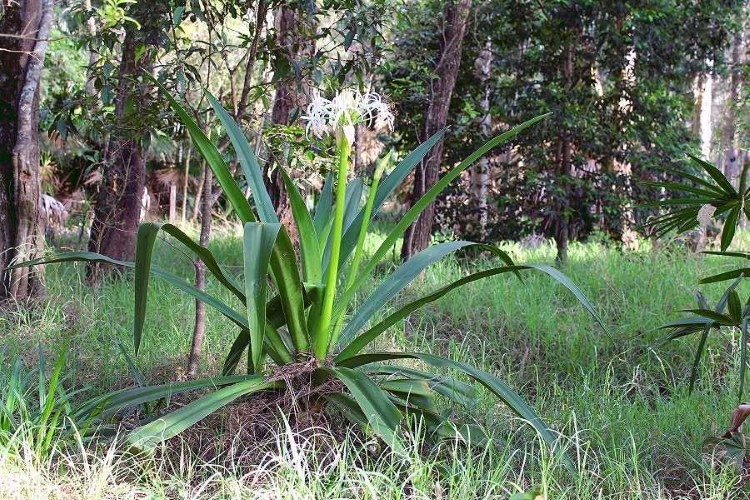
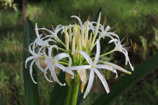
swamp lily |
|
 |
 |
 |
|
swamp lily flower |
swamp
oak/paperbark forest |
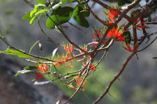
flowering
mistletoe |
photos Rob & Carol
|