|
touring the back
roads
from
newcastle to brisbane
by Rob
The focus of the trip was to drive between Newcastle &
Brisbane staying off the highways by using mostly country secondary roads,
dirt roads or 4wd tracks & bush camping on private property, reserves, state
forests, national parks or showgrounds with a three week time frame.
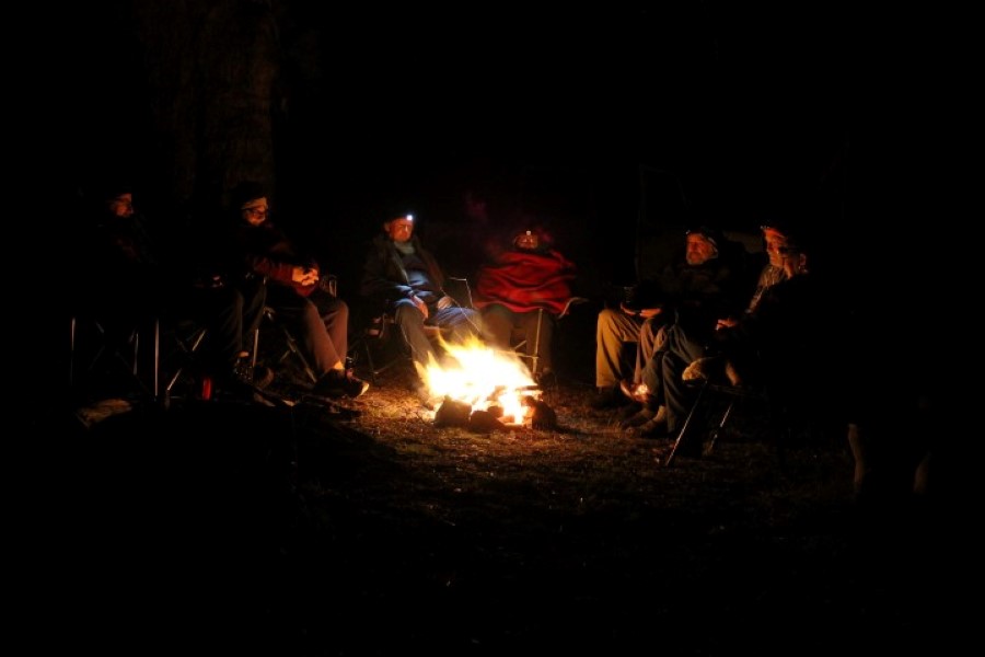
There was no set itinerary as we like the freedom when getting into a
campsite & if we like it, we can then stay a couple of days. On the majority of days we
were on the road driving by nine & then set up no later than three in the
afternoon after exploring for the day. It is not unusual for us to set up
the next evenings campsite only fifty kilometres away. Our camper trailer
comes with us wherever we go. On this trip we set a new record for not
unhitching of one month & one day.
A general route was planned using GoogleEarth,
whereis.com & Hema digital maps with potential campsites noted using the
Camps Australia Wide book, WikiCamps app, the FindACamp.com.au website &
researched more if need be in Google. We also find the Cartoscope Touring Map series a
great reference for sightseeing along the way.
While the Hema Navigator HN5i shows us were we are on the
moving topographical digital maps while driving, especially on the 4wd
tracks, we still plan daily routes each evening using our Hema Road Atlas or
the Reader Digest's Complete Driver's Atlas and Touring Guide to Australia.
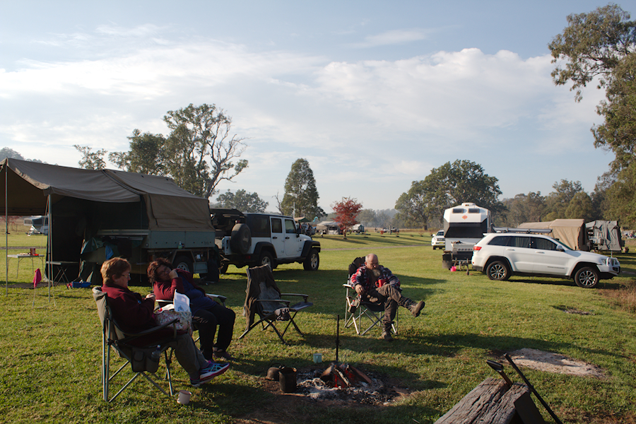
After Lindsay & Robyn set the date for the Australian
CamperTrailers Group get together for
Atkinsons Dam near Brisbane in June,
Carol & I decided to arrange a members weekend at
Camp Cobark so we could
meet up with Ray & Sheree and Ken & Joy who would be our travelling companions for
the next four weeks. Keith would accompany us for the first week, while Ian
& Collette would meet us from Tenterfield at the start of the third week as we got closer to Atkinsons Dam.
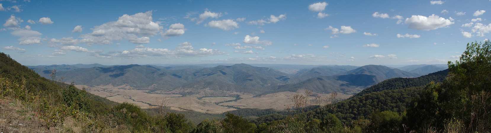
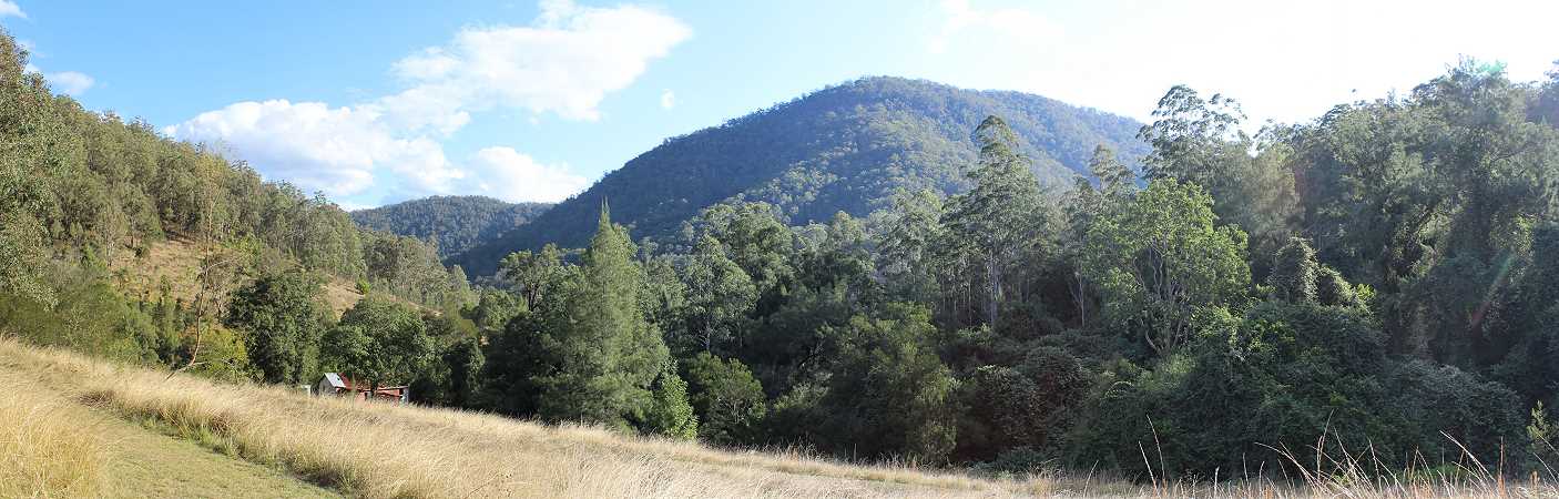
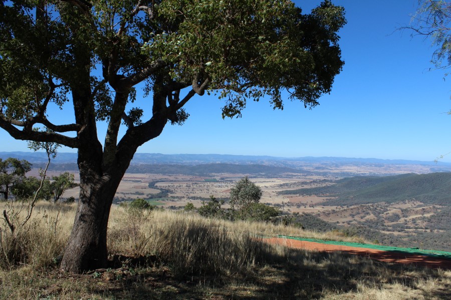
From the Camp Cobark weekend meet we headed up the steep ascent of
Thunderbolts Way onto the Great Dividing Range where we stopped for
morning tea at Carsons Lookout with a view westward towards Barrington
Tops.
 |
|
Carsons Lookout with views to Barrington Tops |
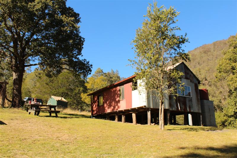
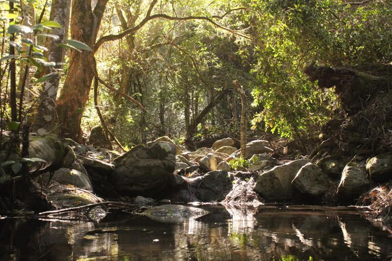
Not far from Nowendoc we turned off & made our way
down the fire trail into Nowendoc National Park. Jacky Barkers campsite
is on a creek of the same name & next to the rustic Wrights Hut, the
oldest surviving structure in the park. It was built in the early 1960’s
from materials recycled from the older Watts & Schultz’s slab huts
located nearby.
Hams homestead now in ruins was built in the late 1920’s using timber
slab walls & corrugated iron roof construction. A corrugated iron shed
used for processing potatoes was also built during this period adjacent
to the hut. The hut and shed are still standing but a large poplar tree
has destroyed the homestead.
The park contains around 14,000 hectares of the
declared Curracabundi Wilderness Area. The deep V-shaped gorge is formed
by the Myall Creek which runs through the middle of the park. Both
subtropical & dry rainforest are confined to the narrow sheltered
gullies dominated by figs, giant stinging trees, river oaks, myrtles,
Sydney Blue Gum & Rough-barked Apple, while New England Blackbutt cover
the higher ridges.
The trail into the campsite is steep as it drops into the river valley
with several large conservation humps which are best negotiated by 4wd
with high ground clearance. A 4wd may also be handy getting back out
after rain if the track turns slippery.
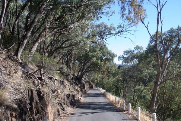
The next morning we headed for Tamworth via the Port
Stephens Cutting. This narrow winding road drops 700 metres off the
range & was the route used in the early years to bring stock & produce
down from the highlands to Port Stephens on the coast. The Australian
Agricultural Company developed the section of road to make a shorter
route between their Peel Estate & the headquarters at Carrington
in Port Stephens.
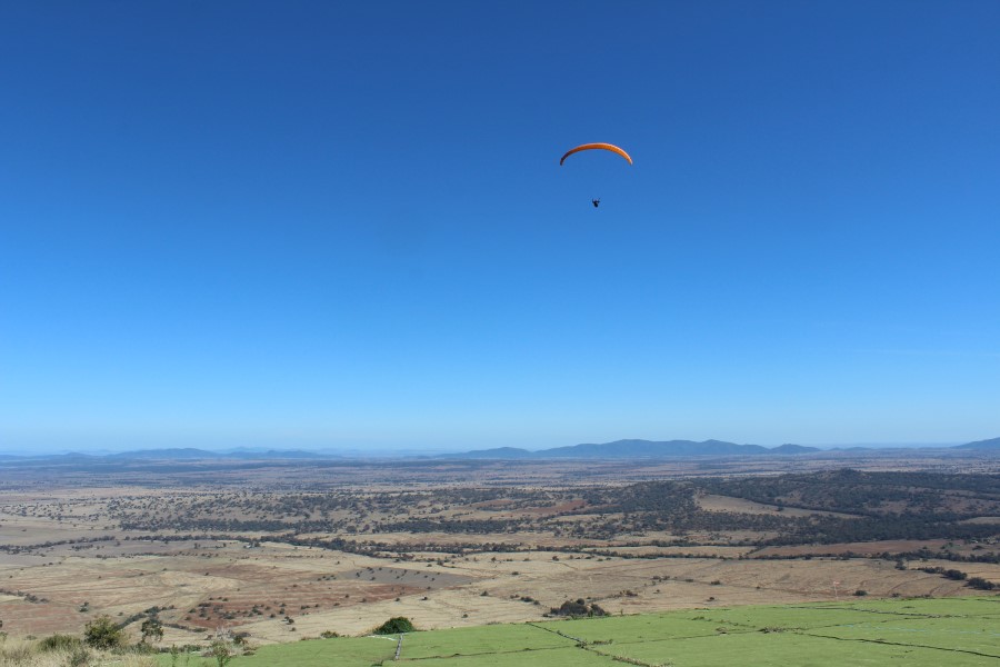
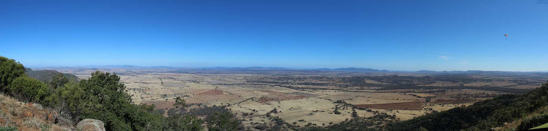
From Tamworth we drove along the Fossickers Way to
Manilla & up to the top of Mount Borah for some fantastic views. The
world renowned paragliding launch site stands around 500 metres above
the surrounds. Access to Mount Borah is on
private property & permission should be asked from Godfrey Wenness at
the Manilla Paragliding School before entering.
 |
 |
 |
| the
Port Stephens Cutting |
view from Mount Borah |
view from Mount Borah |
 |
| looking
west towards Mount Kaputar from Mount Borah |
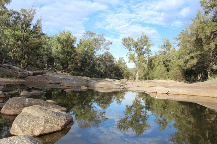
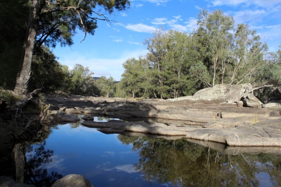
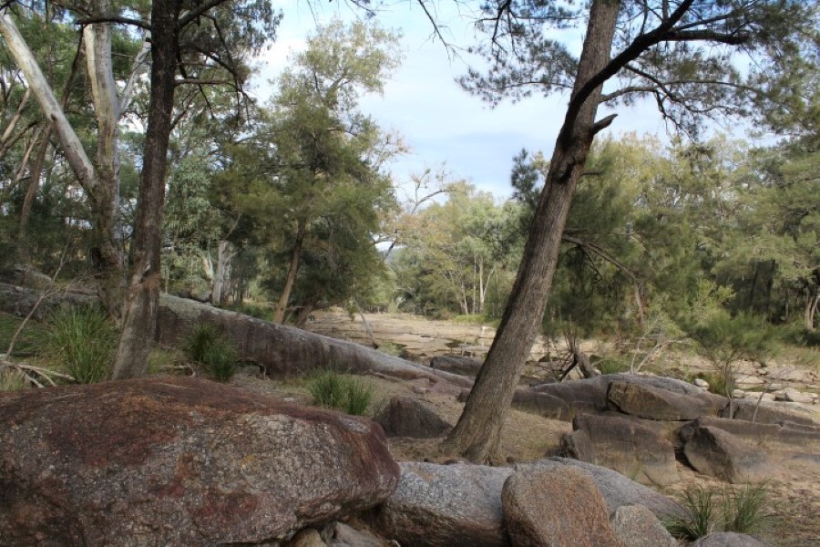
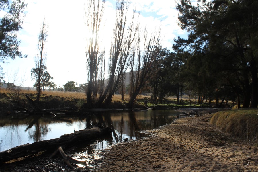
From Mount Borah it was a scenic drive to Warrabah
National Park on the Namoi River covering an area of 4000 ha & bisected
by the Namoi River for 14 kilometres. Weathering & erosion of the coarse
granites with incursions of basalt has resulted in spectacular rock
formations.
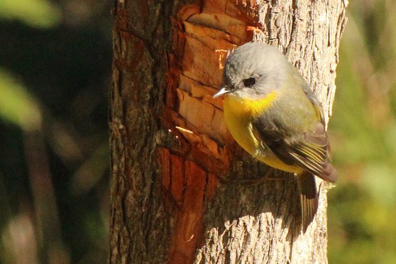
The Namoi River is lined with river oaks, river red
gum, tea tree & bottlebrush while on the higher hills grow black & white
cyprus, Caley's ironbark & hill red gum. Over one hundred species of
birds have been recorded. Owing to the drought the river level was low
with not much water flowing.
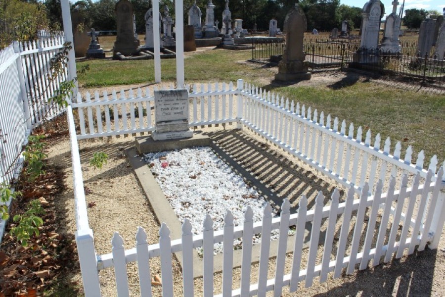
In 1917 an old Beaumont-Adams .50 calibre
double-action five shot percussion revolver was found in poor condition
inside a hollow log with nail hole markings "THUNDERBOLT 1865" clearly
readable.
With a cold morning start & the thermometer showing
zero, we found the handpump would not pull water from the camper trailer
water tank as the pipe was frozen. Luckily we could open the top of the
Safari Can to fill the kettle for a morning cup of tea on the campfire.
It was suggested we could warm our hands in the Engel fridge which was
set to 3 degrees.
 |
 |
 |
| Namoi
River |
Namoi River |
Namoi River |
 |
 |
 |
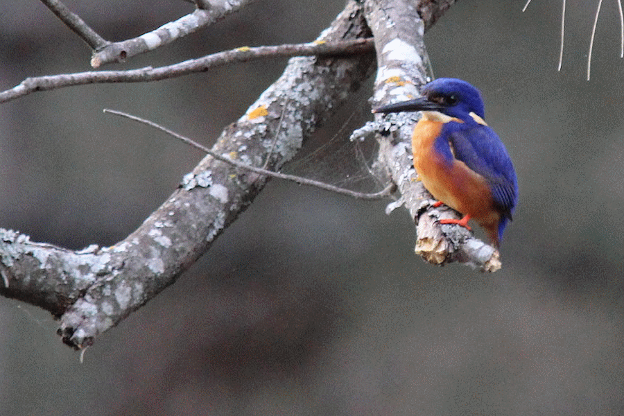
| Azsure
Kingfisher |
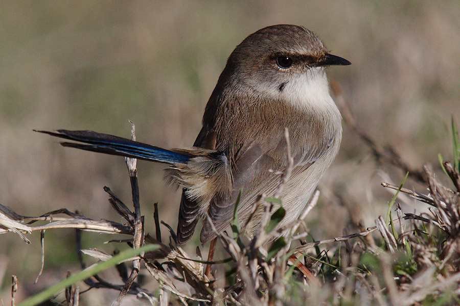
Blue
Wren |
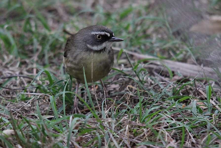
White-browed Scrub Wren |
 |
 |
 |
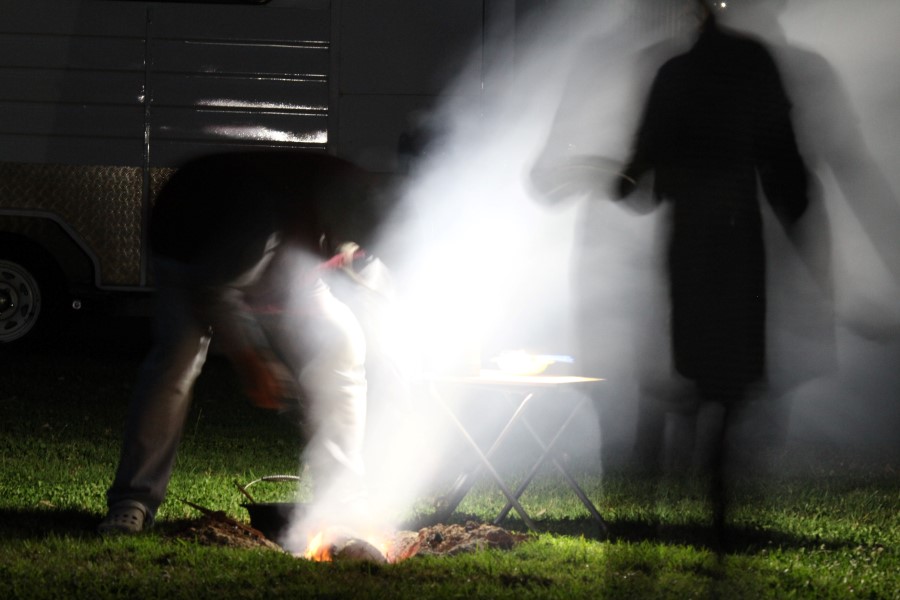
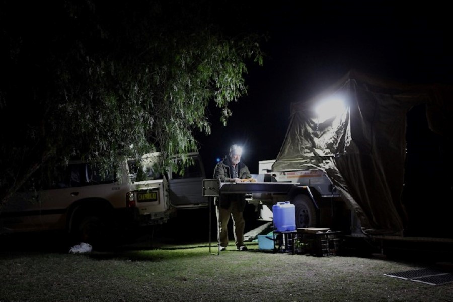
| Keith
busy with tea |
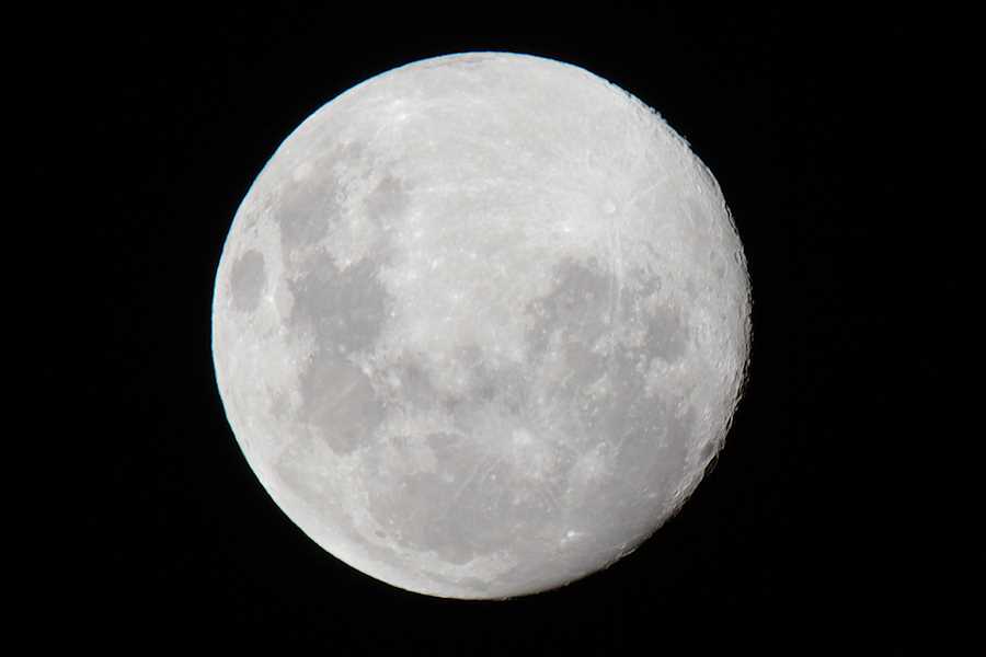
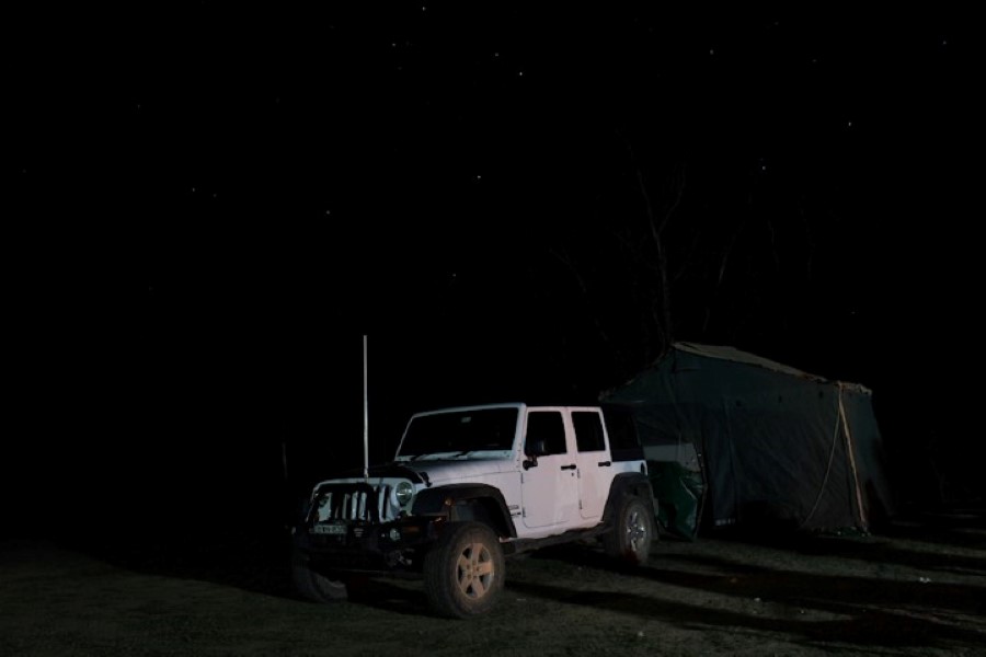
starry
Jeep night |
Scorpio
constellation |
page1
page2
page3
page4
page5
page6
page7
|